Skip to content
Remote Sensing
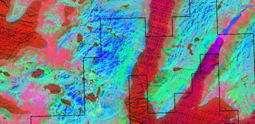
Greenland – precious metals alteration zones mapping
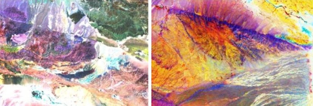
Gobi – mapping of hydrothermal alteration zones

Altai (Mongolia) – lithological, structural and mineralogical mapping
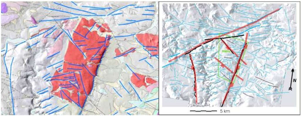
Bohemian Massif/Czech Republic – morphostructural interpretation of granitoids based on remote sensing data (radioactive waste disposal study)
Sedimentary Petrology
Exploration of organic-rich rocks of southern Lebanon
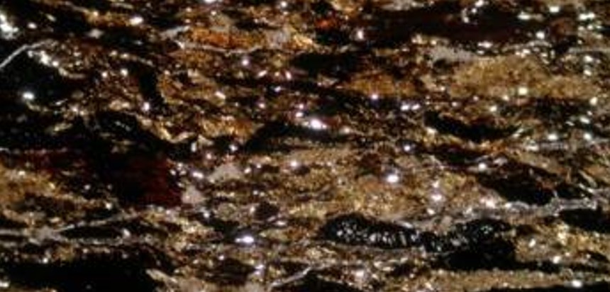
Iran – study of Fe-oxides dispersal in feldspars (ceramic raw material)
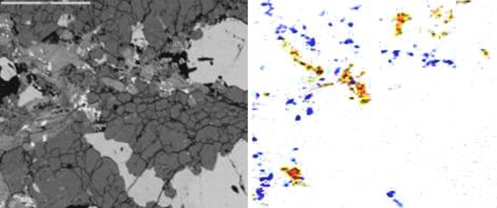
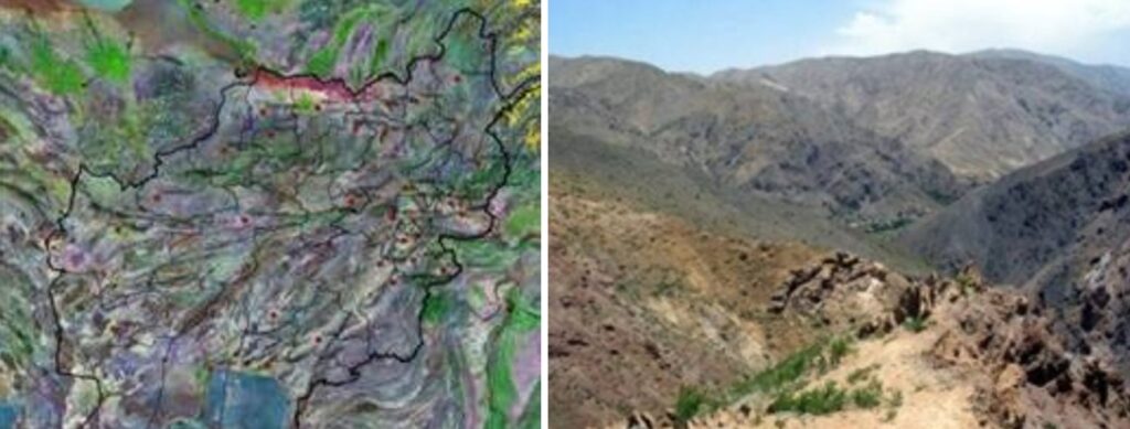
Afghanistan – mapping and petrological characterization of limestones and gypsum (raw materials for cement factory, remote sensing)
Geoinformation Systems (GIS)
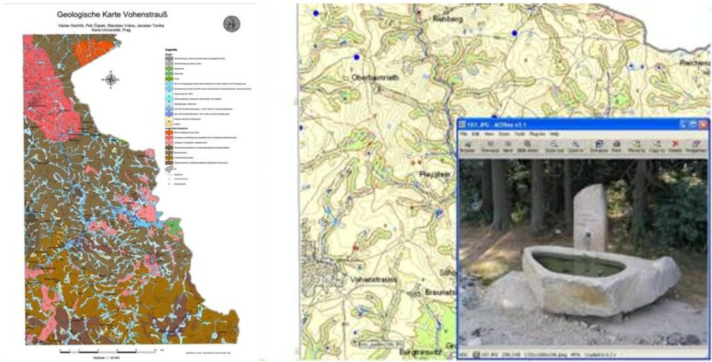
Vohenstrauss (Germany) – geological and hydrogeological map digitization, building of interactive GIS
3D topographical and geological model of Šumava Mountains (Czech Republic)

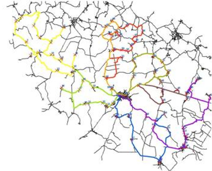
Hlinsko network analysis – optimization of biological waste collection
